Boosting the climate resilience of the Mafinga Afromontane landscape
Highland communities and conservation rangers partner to protect Zambia's highest peak, vital headwaters, and rare montane biodiversity.
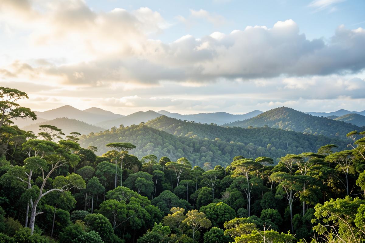
Protecting Zambia's Rooftop Catchment
Rising to over 2,300 meters above sea level, the Mafinga Hills form Zambia’s highest elevation ridge along the northeastern frontier. This Afromontane landscape acts as a regional water tower, feeding pristine headwaters that sustain hundreds of thousands of downstream farmers and pastoralists.
However, illegal bush clearing and uncontrolled highland wildfires have placed these irreplaceable cloud forests under threat.
Collaborative Landscape Stewardship
Through a structured joint management model, WECZ works alongside traditional leadership, local chiefdoms, and national parks authorities to establish community-enforced conservation zones.
- **Creation of 12,000+ hectares of protected community conservation zones.**
- **Establishment of 24-hour fire-break monitoring brigades** during the dry months.
- **Promotion of non-timber forest livelihoods**, including sustainable highland beekeeping and zero-tillage agricultural buffer zones.
"The Mafinga Hills are not just geographical landmarks; they are the lifeline of our river systems. Safeguarding them ensures food security and drinking water for generations." — Society President, WECZ
Next Steps for Research
WECZ field botanists and ornithologists are currently cataloging rare endemic flora and bird species in the montane forest canopy, preparing an updated conservation dossier for national protection status.
Help fund field conservation across Zambia
Every pledge enables school club materials, anti-poaching scout equipment, and reforestation supplies.